Sometimes you just have to take the opportunity to get out on the bike and, with the lighter evenings finally upon us, there should be much more scope for riding.
A rare such opportunity presented itself at the weekend, so I took full advantage.
Having cycled to the Vue cinema complex with my daughter Clara to meet her friends – using the excellent route through Inverness Campus and over the railway – I had a couple of hours to kill.
What better way to spend that time than going for a ride? So I headed out on an old favourite route, one I hadn’t done for some time.
From the cinema, I followed the shared-use path around the front of the retail park. It’s not the best bit of cycle infrastructure but with some careful crossing around the busy entrance/exit to Tesco you are soon away towards the roundabout at the bottom of Barn Church Road.
Follow the path up to the right here, passing a housing development on a new cycle path then continuing to cross Smithton Road and Tower Road. Slow down and give way where the route crosses another shared-use path at Culloden Avenue but continue straight on along the Barn Church Road path until you eventually reach a cycle route sign to Balloch.
Turn right and follow the road left to reach a T-junction in the village, where you go right to climb the long, steady hill up towards Culloden Battlefield. It’s a battle enough to get up here but the gradient does ease a little way beyond the railway bridge, and you come out at a junction opposite an inn. Carefully cross the busy B road, going straight on again at a give-way sign a short distance ahead.
This road takes you down to cross the River Nairn, a long, sweeping descent ending with a 90-degree right turn onto the narrow bridge. A little way beyond here the signed cycle route splits, the east route to Nairn and Aberdeen going straight on and the south route to Tomatin and Aviemore going right.
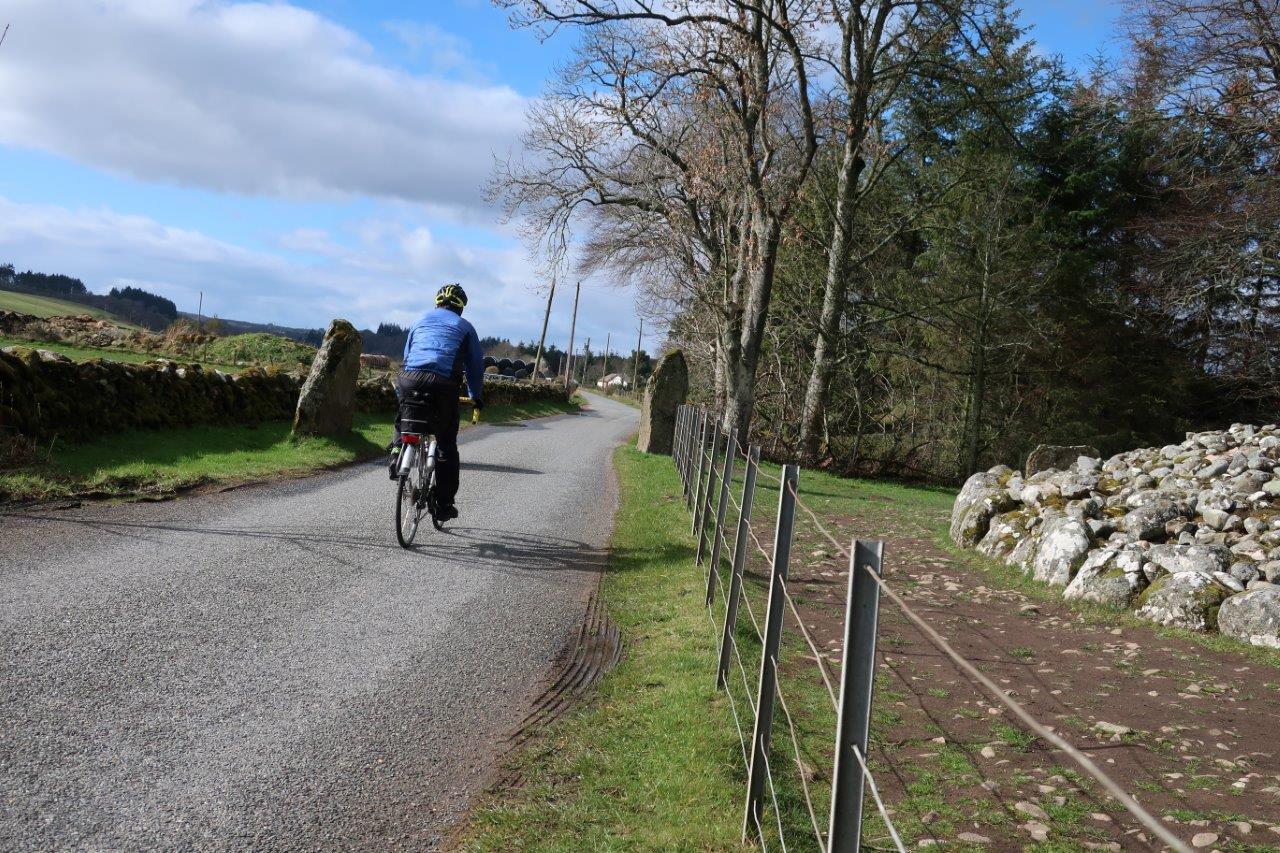
I headed right, closely passing the Clava Cairns on the single-track road which then bends left for a steep pull up to the farm at Culdoich. I consoled myself with the thought that all this climbing was good training for the Etape Loch Ness at the end of the month.
As I reached the junction above the farm, a red kite was soaring above the fields in search of any potential food source; an impressive sight with their forked tails no matter how often they may be seen in the area these days.
I turned right onto this quiet back road – marked as the C14 towards Daviot – and enjoyed the pleasant ride above Strath Nairn, remembering many previous outings on this fine route.
After a descent to a T-junction, this circuit leaves the national cycle route by turning right onto the B9154, forking left at the war memorial half a mile along the road. After the row of houses, take the newer, wider road that leads to a quarry and, more importantly, an underpass below the A9 dual carriageway.
Join the B851 the other side and follow the single-track road a few miles to a shop in Inverarnie, where you turn right to start the return to Inverness. The road crosses the river then climbs to a crossroads before continuing a more gradual ascent onto the moor.
It’s a fun ride down the hill from here, though care must be taken for other road users especially on some of the tighter bends.
At the bottom of the hill, where you enter the 30mph limit (you might need to slow down!) follow the road round to the right to go through new housing at Slackbuie then down to meet the Southern Distributor Road at Fairways.
You can join the shared-use path here, going right for a gentle ride to Inshes. The busy roundabout here is a bit of a barrier to active travel in the city but there are long-winded ways of bypassing the roundabout using a series of crossings to effectively go straight on, keeping to the left-hand side of the road.
Turn left after the ‘Green House’ offices and go towards to fenced access to Lifescan. A surfaced shared-use path goes around the outside of the grounds to reach the Golden Bridge – a pedestrian and cycle link over the A9 into Inverness Campus.
There’s a much more welcoming environment for cycling on the campus and the route back to the retail park heads up to the right, bearing left beyond the pond then following a signed path left over the railway and into the back of the shopping area.
I made it with 20 minutes to spare until the end of the film, so enjoyed a quick coffee and cake as the credits rolled.
Route details
Culloden cycle
Distance 23 miles / 37km
Terrain Minor roads and surfaced cycle paths
Start/finish Inverness Retail Park
Maps OS Landranger 26 & 27
A road circuit taking in scenic areas to the east and south of Inverness
