Despite years of traipsing to Aviemore to explore the area’s vast opportunities for outdoor fun, I’d never ventured up one of its most popular hills.
Craigellachie rises steeply behind the Strathspey village and its National Nature Reserve (NNR) boasts one of the largest remaining birch woodlands in the area.
Scottish Natural Heritage manages the reserve including maintaining the series of excellent trails that meander around the lochans lower down and climb up to a viewpoint.
As I was staying at the youth hostel – the starting point for the walks and an information portal for the NNR – for a couple of days with my family, we decided to take a closer look.
I’m keen to share my love of the hills with my young children and this 496m summit might just be achievable for them, I thought.

We headed out all together, with the two older ones walking and Meg pushing the baby in his off-road buggy. We soon learned that there’s a vast difference between what we call off road and what buggy manufacturers call off road!
Leaving the youth hostel car park on a chilly morning, we followed the track through an underpass to reach the far side of the A9, where there’s an information panel about the reserve including a map of the trails. You can also pick up a leaflet inside the hostel before you set out.
Keeping left at a couple of junctions on decent paths, we took another left as the route started to climb and the path narrowed. It was fine to walk on but Meg and I ended up lifting the buggy over rocks and roots where it wouldn’t fit or roll over safely.
It must have looked a sight but we knew there was a better track ahead where she could drop down to reach the easier paths on her way back to the village.
The girls were armed with my old walking poles, a perfect distraction from the steep path rising ahead, and they marched on, enjoying the adventure and wondering why we were taking so long!

Despite the extra effort, it was a lovely walk through the birch wood and we soon reached the track. Jennifer decided to join Meg on the way down, leaving Clara and I to make a bid for the summit. There was still a bit of climbing to go but she made light work of the steep path which goes past a water tank then meanders up to a small bealach where it turns sharply left.
After stopping for a well-earned snack, we carried on, the path still rising through the woods where we met a group of young mountain bikers enjoying their descent.
A long set of stone steps led us out of the woodland and onto the open hillside to reach a viewpoint and “photo post”. Far from being the fixed “selfie post” we had imagined this to be, the Cairngorms Scenic Photo Posts project encourages people to take a snapshot of the landscape to build up a long-term picture of our changing landscapes.
The posts have a little stand on top to rest your camera or smartphone on (no room for DSLRs here, though!), so you take the photo then you can upload it to the project database at https://cairngorms.co.uk/photo-posts
Clara’s legs were getting tired now but the gradient was easing as we made our way across the rocky plateau towards the top and she was determined to make it. There was even a valuable lesson in false summits along the way!

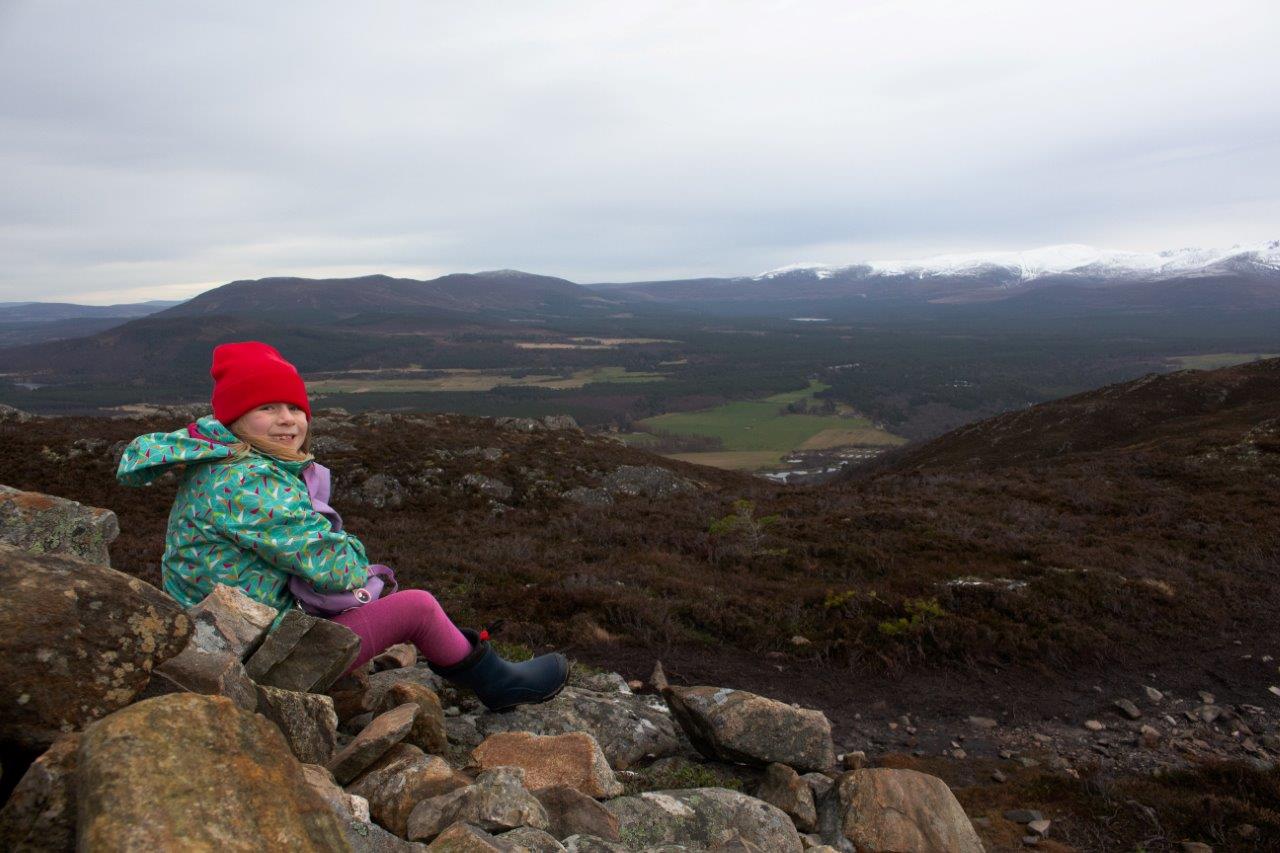
She had real joy in her eyes as she made it to the top, climbing up the large cairn to make sure she’d reached the very highest point. And once she was up there, she didn’t want to leave, even though it was a bit chilly in the winter breeze.
The view from here overlooks the whole of the Cairngorms, over to Glenmore and Ryvoan – a lush green landscape topped with snow-capped mountains.
After a brief lunch and a bit more exploring around the top, we made our way back down the same path, playing games and ticking off items in Clara’s i-Spy countryside book as we went. This involved a bit of tree-hugging, balancing and climbing on rocks, making the most of the outdoor playground.
We took a different route back from the water tank, following the track that Meg had returned on earlier which meets up with the lower trails again before heading under the A9 and back to the hostel – the perfect spot to make a nice, warming hot chocolate after a real hill walking achievement.
Route details
Craigellachie, Aviemore
Distance 3.75 miles / 6km
Terrain Well-made paths, steep and rocky on open hill with rock steps in places
Start/finish Aviemore Youth Hostel
Maps OS Landranger 36; Footprint Map – Explore Aviemore
A short, steep climb to a popular summit with views of the Cairngorms


