Being well accustomed to the right of responsible access to most land and water in Scotland, an outing back in my home country of England still comes as a bit of a shock.
The maps are peppered with different coloured and patterned paths, each variation denoting not the condition of the trail itself but the legal right to use it either on foot, horseback or by bike.
I grew up on the 1:25,000 scale OS maps of the Lake District, but these days I find the explosion of paths more confusing, preferring a vast area of empty contours to navigate by!
Our hard-earned rights to explore the countryside led to the Land Reform Act (2003) in Scotland, which gives people widespread rights to access the countryside as well as urban areas, so long as they act responsibly.
In England and Wales, the earlier Countryside and Rights of Way Act (2000) gives much more limited access to the great outdoors – with designated Open Access areas marked on maps to show where a “right to roam” – similar to that across Scotland – exists.
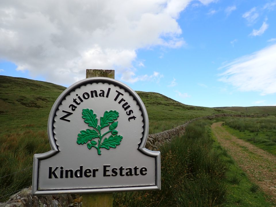
For anybody interested in access rights, a visit to the Peak District is a must – it was here in 1932 that a mass trespass took place on Kinder Scout involving around 400 ramblers. Six people were arrested with five later convicted and imprisoned for up to six months.

Those harsh sentences sparked outrage and led to a change in public attitude towards access to the countryside. The Kinder Mass Trespass is still celebrated 92 years later, and earlier this year a new Kinder Pledge was launched to demand further rights akin to those we enjoy north of the border.
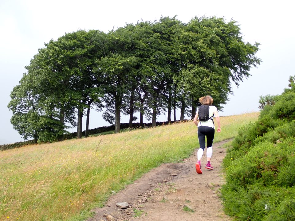
During the summer holidays, Meg and I managed to get some child-free time and headed to the High Peak district to tackle a run up onto the Kinder plateau. We’d done a version of this route a few years ago but mostly in the cloud with little to see in terms of views.
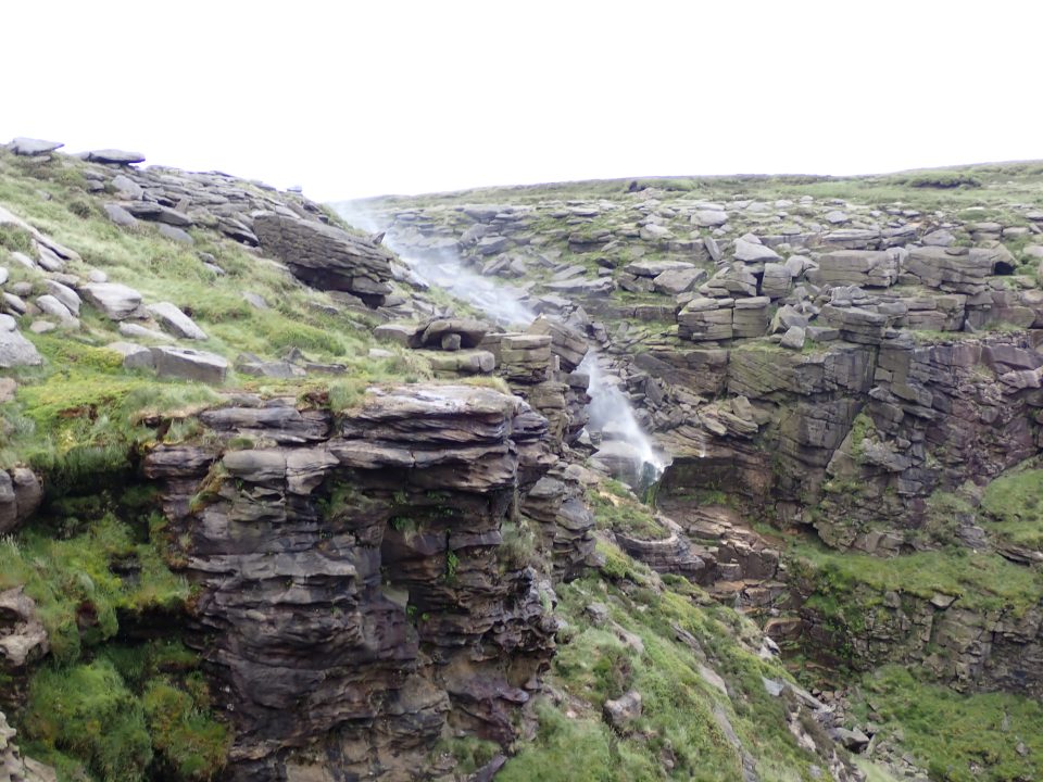
Thankfully, this time was a little different, although the wind made parts of the run a bit of a battle – especially as we passed the Kinder Downfall, an impressive waterfall, that was more of a Kinder Upfall as the water was being blown back up the hill faster than gravity could pull it downwards!
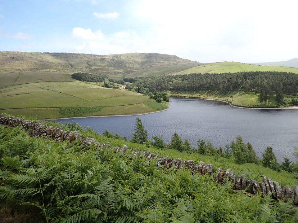
We began the route in the village of Hayfield, where we had booked an Airbnb for a couple of nights. It is situated right on the edge of the Peak District, making it a great base from which to explore.
We headed up Valley Road then down a set of steps past a children’s play area. This follows the edge of a cricket field then up some more steps to meet Kinder Road (the Rosie Lee teashop further down this road is great for a cuppa or a meal, and has a leaflet which includes a few suggested walks from the café).

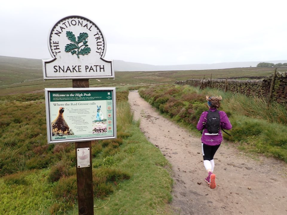
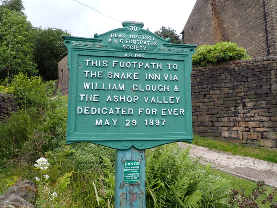
Turn right to go up the road and keep left at a fork. A track off to the left a short way ahead marks the start of the Snake Path, the first right of way secured by the Peak and Northern Footpaths Society back in 1897 – “dedicated for ever” for public use.
You see the PNFS name on a number of signposts in the area, marking various footpaths. The Snake Path leads ultimately to a pub, the Snake Inn, via William Clough and the Ashop valley. As I tried to explain to Meg, walking in England is often about getting to a pub, whether on a through route such as this or after a day in the hills!
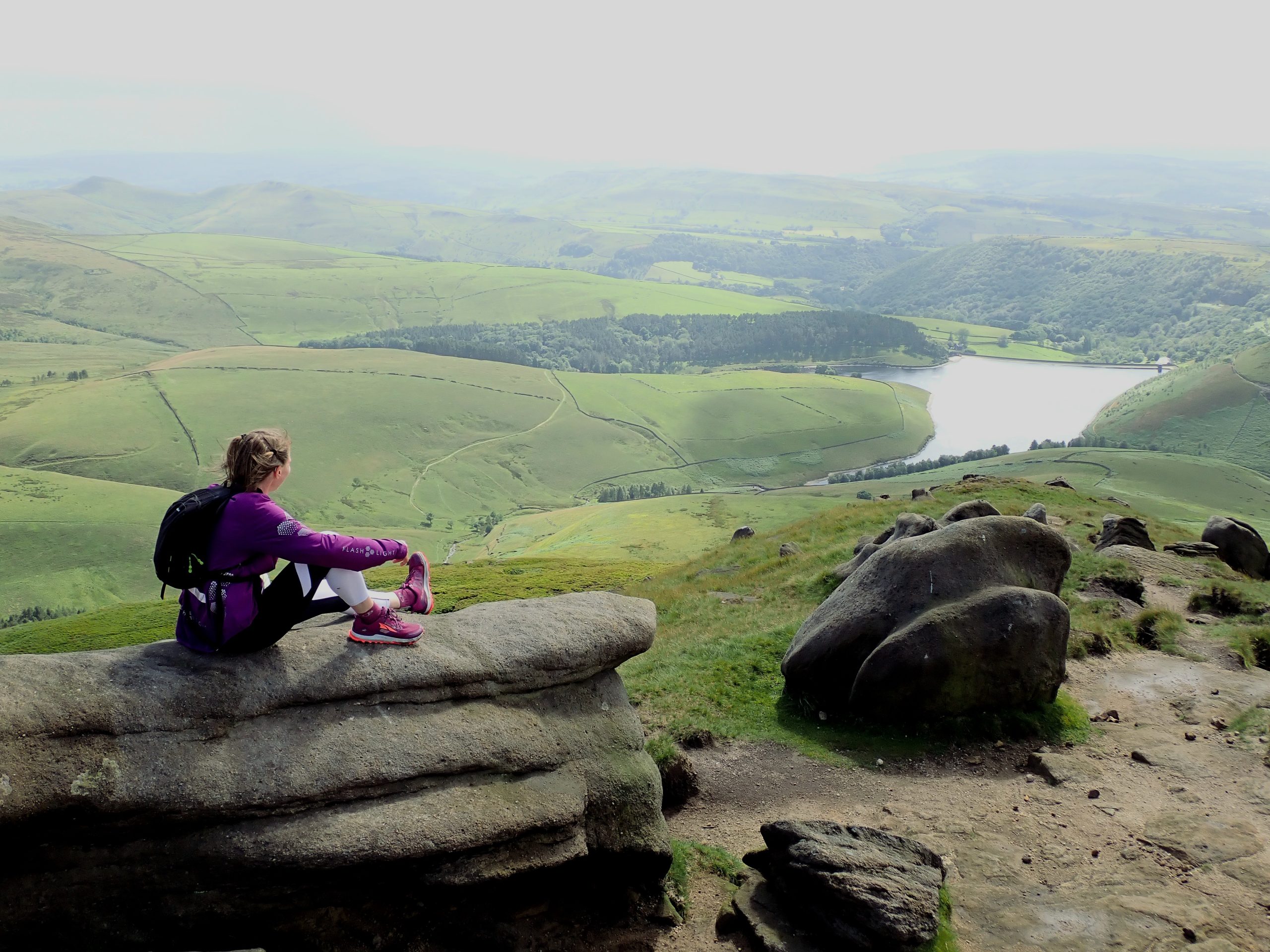
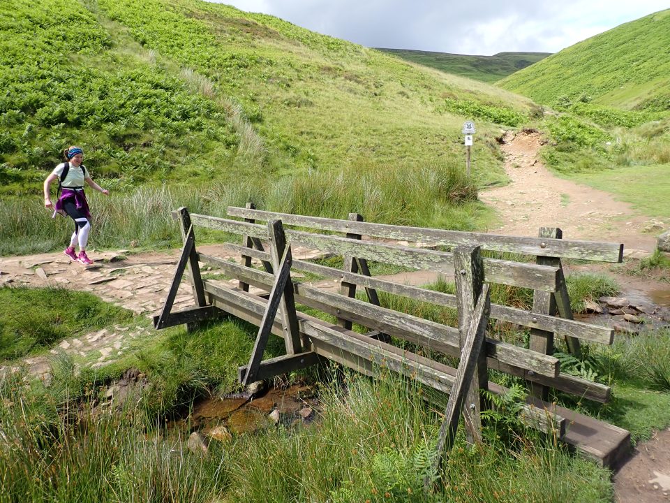
Our aim today, however, was the summit of Kinder Low on the plateau. We followed the Snake Path above the Kinder Reservoir then down to the footbridge at the foot of the clough – an English word for a cleugh, i.e. a ravine or gorge.
A path makes its way up alongside the burn here, crisscrossing the waterway as it meanders to the col between Mill Hill and the Kinder plateau. There hadn’t been much in the way of running on this last section, but we were content to just enjoy a few hours in the hills rather than rush anyway.
Turning right at the crossroads of paths at the col, we climbed the steep rise to the plateau before following the well-defined path that clings to the edge of the escarpment. The terrain meant we had to concentrate on our footing but the freedom to be out here was fantastic, and we enjoyed clambering on a few of the rock outcrops and taking in the view across to Manchester and the Cheshire plains.
After passing through a gate, we approached Kinder Downfall, Derbyshire’s tallest waterfall and perhaps the most eye-catching feature of this mountain. It caught our eyes as we got closer because the water wasn’t making it very far down the hill, and as we ran over the top we got rained on by the spray being blown back up over the top.
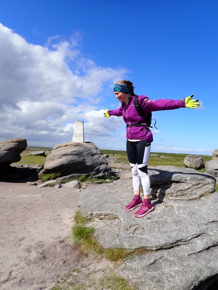


After crossing the burn, the path changes direction to head south-southwest then south to the trig point on Kinder Low. The high point of the Kinder Scout plateau – just three metres higher – is an out-and-back detour that would add on an extra mile or more to our route, so we decided just to continue with our journey south to pass Edale Rocks and reach a crossroads.
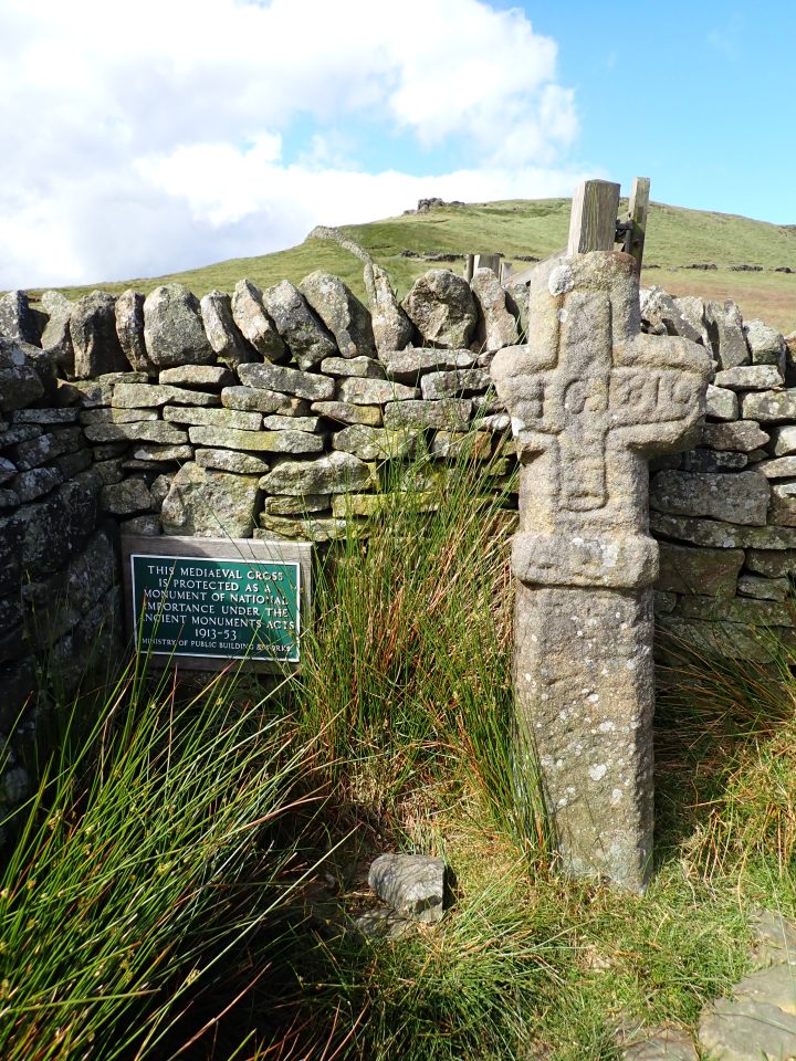
Going right here we ran past the Edale Cross, a medieval stone slab cross that stands on the parish boundary between Hayfield and Edale next to the ancient moorland track between the two villages.
We followed this rough track down alongside a wall, ignoring a couple of footpath signs to Hayfield that cross the wall, to reach Coldwell Clough, from where we picked up the Pennine Bridleway to lead us back into Hayfield on Valley Road.
The hill was busy on this bright summer’s day, and it is thanks to those ramblers 92 years ago that access onto this once-forbidden grouse shooting moor is now taken for granted. I celebrated afterwards with a beer from the local Buxton brewery – called Right to Roam. I’ll drink to that!
