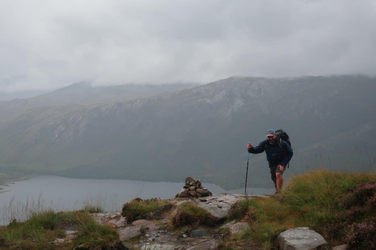
On a fine day the 981m summit of Slioch has views across Loch Maree to the Torridon peaks and over the Fisherfield hills to the north.
It would be fair to say, however, that this was not a fine day – at least, not in terms of the weather.
We knew at the planning stage that this was going to be a day for waterproofs and wind-protective gear, and the forecast didn’t disappoint.
Having donned the kit,fellow Mountain Leader trainee Dave Knox and I headed through the gate from the car park and followed the path past the cemetery and along the Kinlochewe River to Gleann Bianasdail. This route is part of the 18th-century post-runners’ route between Dingwall and Poolewe, a version of which survives today through the Letterewe Forest as a right of way, although part of the original route is now too dangerous to negotiate and an alternative, though equally remote and rugged way, is used.
This stretch trundles along through patches of oak woodland which once lined the north shore of Loch Maree. A 17th-century smelting industry soon saw most of the trees felled as they were used to fuel the blast furnaces near Poolewe and elsewhere around the loch.

As we reached the footbridge over the Abhainn an Ehasaigh we could hear the thunder of water battering down through the rocks. We crossed cautiously, peering through gaps where planks had come detached from the deck, exposing the sheer force of the river below. The dry days of summer suddenly seemed a long time ago.
Our route headed north-east up the river here before cutting north up to a bealach between the dominant Sgurr Dubh and the smaller top of Meall Each. This gives access to Coire na Sleaghaich – the corrie of the spears, the translation usually attributed to the mountain itself: Slioch, the spear.
The rest of our battle with the mountain would be fought in the clouds, which hung over the upper part of the corrie, obscuring the route ahead.
A well-used path zigzags – or as Dave rather succinctly put it, “just zags” – up to a couple of lochans south of the summit, though with minimal visibility we could only just make out the edge of the first one.

We made our way up the rocky ridge above the lochan, getting a sense through the cloud of the might of this magnificent mountain as the way ahead narrowed briefly then climbed steep, grassy slopes to the summit plateau.
In these conditions a bit of navigation practice was called for, so we aimed for the trig point and timed our trek across to it, discussing the hardy souls who must have put these surveying devices in such remarkable locations.
Seeing it emerge from the cloud was a satisfying moment and this trig was particularly interesting as it was more than just a lump of concrete; instead it had been constructed from rock scattered around the plateau and seemed to fit neatly with its surroundings.
However, this isn’t the highest point of Slioch, which lies a few hundred metres further north and a whole metre higher. The true summit is said to have the better vantage point but, as far as we could see, it was much of a muchness!

The most exciting part of the route was yet to come, though, as we followed the east ridge to Sgurr an Tuill Bhain. After just over half a kilometre, the ridge starts to narrow and an exposed but perfectly walkable path meanders over, round and between the rocks.
A near 30mph wind blasting across the ridge made things slightly trickier than they might have been and we hunkered down behind a large outcrop to enjoy a sheltered lunch. As we continued, we were hit by the wind again but the path soon reached the cairned 934m top.
The descent from Sgurr an Tuill Bhain is rough, dropping over sandstone ledges on a convex slope that leads, eventually, to flatter ground in Coire na Sleaghaich. What a relief it is to walk on the soft, boggy ground after that!

Crossing the burn, we reached the bealach below Sgurr Dubh, now out of the cloud, and admired the view over to Beinn a’ Mhuinidh and down to Loch Maree, even glimpsing some of Beinn Eighe across the water.
There was still the further descent to the loch to follow and, as we crossed the footbridge and began the long plod back to Incheril, it even dried up enough to remove the waterproofs – until 10 minutes from the car park when the heavens opened once again, ensuring we were sodden by the time we got back.
Mighty Slioch may have been kept under wraps today but one day I’ll be back to see her sunnier side.
Route details
Slioch
Distance 13 miles / 21km
Terrain High mountain paths, some exposed; navigation skills required
Start/finish Incheril car park, Kinlochewe
Maps Harvey Superwalker, Torridon; OS Landranger 19 ; OS Explorer 435
A long, rough walk to climb a classic Munro above Loch Maree
